An elevation certificate documents a structure's elevation relative to the base flood elevation. For homes in coastal Monmouth County, this document is essential. It directly influences your flood insurance premiums and helps you understand the specific flood risk associated with the property before you finalize your purchase.
What Exactly is an Elevation Certificate?
An elevation certificate is a technical document produced by a licensed land surveyor or engineer. It measures the elevation of the lowest floor of a building relative to the Base Flood Elevation set by FEMA. In coastal communities, this document serves as a roadmap for your insurance company. It details exactly how high your living space sits compared to where floodwaters are expected to rise during a significant storm event. You cannot simply guess these heights based on visual observation. The data must be certified by a professional to be recognized by the National Flood Insurance Program or private insurers. If you are considering a property in this area, having this document is as important as having a home inspection. It removes the guesswork from your long-term financial planning and helps you avoid unexpected insurance costs that could impact your monthly budget.
If the seller does not have an existing certificate, you may need to hire a surveyor to create one. This is a standard part of the due diligence process in these high-risk zones. Always consult with your lender about your specific requirements before moving forward with an offer.
Why Coastal Buyers Need This Data
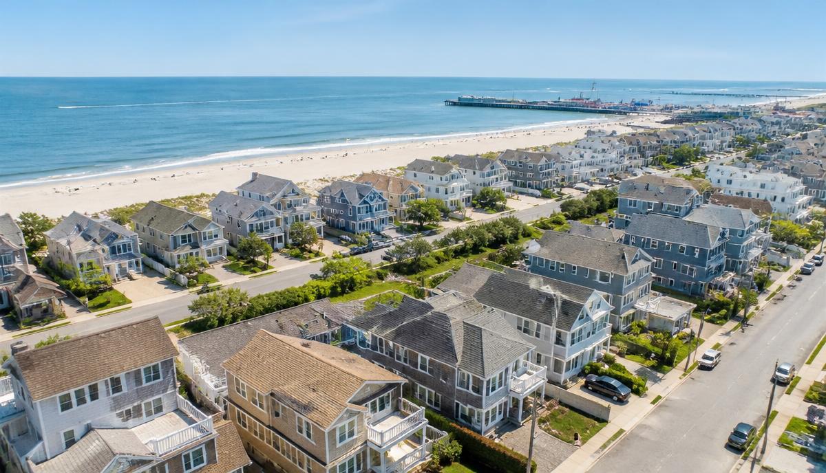
Coastal areas in Monmouth County are unique environments. The proximity to the Atlantic Ocean and local waterways creates a landscape where water management is a part of daily life. When you buy here, you are entering a zone where FEMA has defined specific risk areas. An elevation certificate provides the objective evidence required to determine your flood insurance rates. Without it, insurers may default to the highest possible premium estimation because they lack the specific elevation data needed to calculate a precise risk profile.
Understanding the elevation of your home is not just about insurance costs. It is about your safety and the longevity of your property. A home built well above the base flood elevation will naturally have a lower risk profile than one sitting closer to the grade. Reviewing this document with your agent helps you visualize the structure's resilience. It allows you to evaluate whether the home has been improved or elevated following major storm events, which is common throughout many coastal towns. Always confirm the details of the structure before you commit to a purchase price.
Key details to look for in your certificate:
* Base Flood Elevation (BFE)
* Lowest floor elevation
* Elevation of mechanical equipment
* Building diagrams provided by the surveyor
The Impact on Your Mortgage and Insurance
When you apply for a mortgage, your lender will verify if the property is in a Special Flood Hazard Area. If it is, the lender will require flood insurance as a condition of the loan. This is where the elevation certificate becomes a financial tool. By providing a clear picture of the building's elevation, you give your insurance provider the tools to offer the most accurate premium possible. If the data shows the property sits significantly above the base flood elevation, it could mean lower annual premiums compared to a structure with lower elevation numbers.
Be aware that insurance premiums can change based on updated FEMA flood maps. These maps are reviewed periodically as climate patterns and coastal defenses evolve. Relying on a recent, accurate elevation certificate is the best way to ensure you are being rated correctly. You should discuss these findings with your insurance agent early in the home buying process. Do not leave this until the week of closing. The more information you gather early on, as you do when researching /areas/monmouth-county, the better prepared you will be to manage your total monthly housing expenses.
Steps to Verify Your Elevation Status
The process starts with asking the seller for an existing elevation certificate. In many cases, a previous owner will have this document on file, especially if the home has been through a recent sale or a major renovation. If the seller cannot provide one, do not panic. Your real estate agent can often help you find a qualified local surveyor who specializes in coastal properties. They will perform a field survey to measure the foundation, the lowest floor, and the surrounding grade. This information is then formalized into the certificate you need for your records.
Remember that the elevation certificate is a living document of your home's relationship with the local landscape. Keep it in a safe place along with your deed and title insurance. If you ever decide to perform significant renovations to the property, such as lifting the home, you will need a new certificate to reflect those improvements. These upgrades can sometimes lead to favorable changes in insurance risk ratings. Keeping detailed records is a sign of a responsible homeowner and will make any future transactions, whether selling or refinancing, much smoother for everyone involved.
Frequently asked questions
Does every home in a coastal flood zone require an elevation certificate?
While not every transaction legally mandates one, it is highly recommended for any home in a flood zone. If you are obtaining a mortgage, your lender will likely require proof of the property's elevation status to determine your flood insurance obligations, which can significantly impact your monthly housing budget.
Can I use an old elevation certificate from the seller?
You can use an existing certificate if the building's structure has not been altered since the document was created. If the home was renovated or lifted, the old data is likely obsolete. Always verify the date of the document and confirm with your insurance agent that it meets current requirements.
What happens if the elevation certificate shows the home is low?
If the data shows the home is below the base flood elevation, your flood insurance premiums may be higher. However, having the exact data allows you to plan your budget accurately. You might also explore mitigation options, such as installing flood vents or elevating utilities, to potentially improve your insurance rating.
Where can I find existing flood maps for Monmouth County?
You can view official flood maps and risk information through the FEMA Flood Map Service Center at msc.fema.gov. These maps are updated periodically, so it is important to check the specific panel for your property address to understand the current designated flood risk for the area you are considering.
What to do next
Purchasing a home in coastal Monmouth County is an exciting step into a beautiful community. By prioritizing the collection and review of your elevation certificate, you are taking control of your financial future. Understanding how your property sits in relation to the water is a fundamental part of responsible homeownership in any of our coastal towns. If you have questions about financing a coastal home or need guidance through the mortgage process, I am here to help. Visit /contact to start a conversation about your specific goals and build a solid foundation for your purchase in Monmouth County. We look forward to working with you.
Keep reading
Sources
Have questions about buying, financing or refinancing a home? Call Abdel Khawatmi and the Got Mortgages team at 973-536-0276 or visit GotMortgages.com.
Author: Abdel Khawatmi with PRMG Got Mortgages | 201-679-0422
This article is general mortgage information only. It is not a commitment to lend, a rate quote, or legal or tax advice. Loan approval, terms and pricing depend on a full application, credit review and property details, and market conditions change. Talk with a licensed loan officer and your own legal or tax professional about your situation.